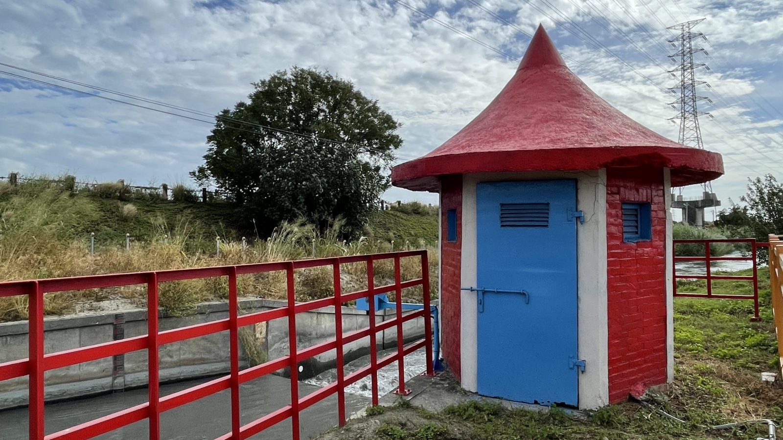
This facility primarily functions to measure the real-time water level in irrigation channels and to estimate the instantaneous discharge based on the hydraulic head. The collected data serve as an important reference for water allocation, irrigation scheduling, and irrigation management. Featuring a simple structure, easy maintenance, and high measurement accuracy, the facility is widely applied in agricultural irrigation systems, water resources monitoring, and hydrological data collection for hydraulic engineering.
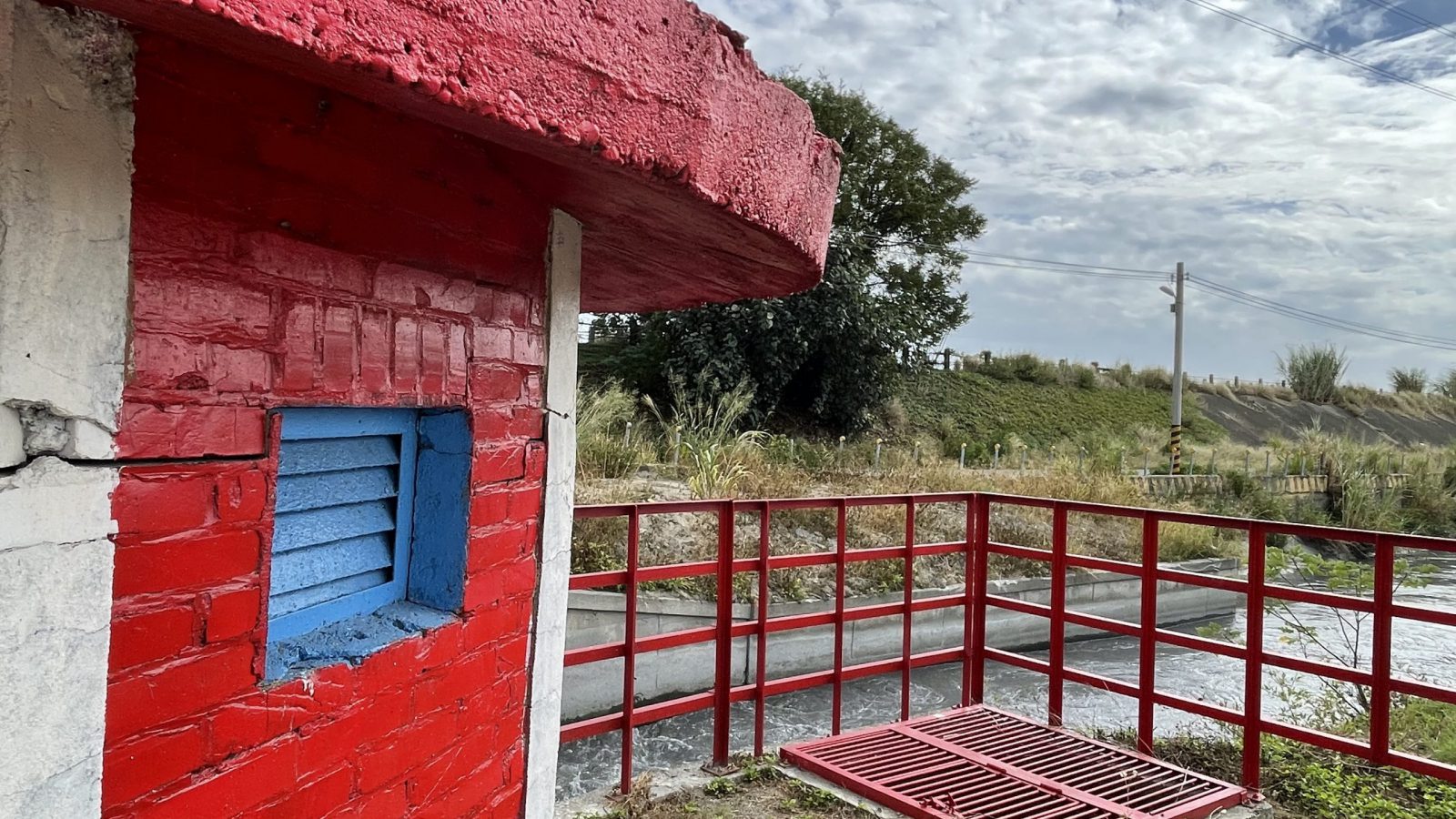
To ensure measurement stability, a stilling basin and a flow-stabilizing orifice plate are installed upstream of the weir. In addition, the vent of the observation well and the cleanliness of the weir plate are regularly maintained, ensuring that water level readings accurately reflect the actual flow conditions.
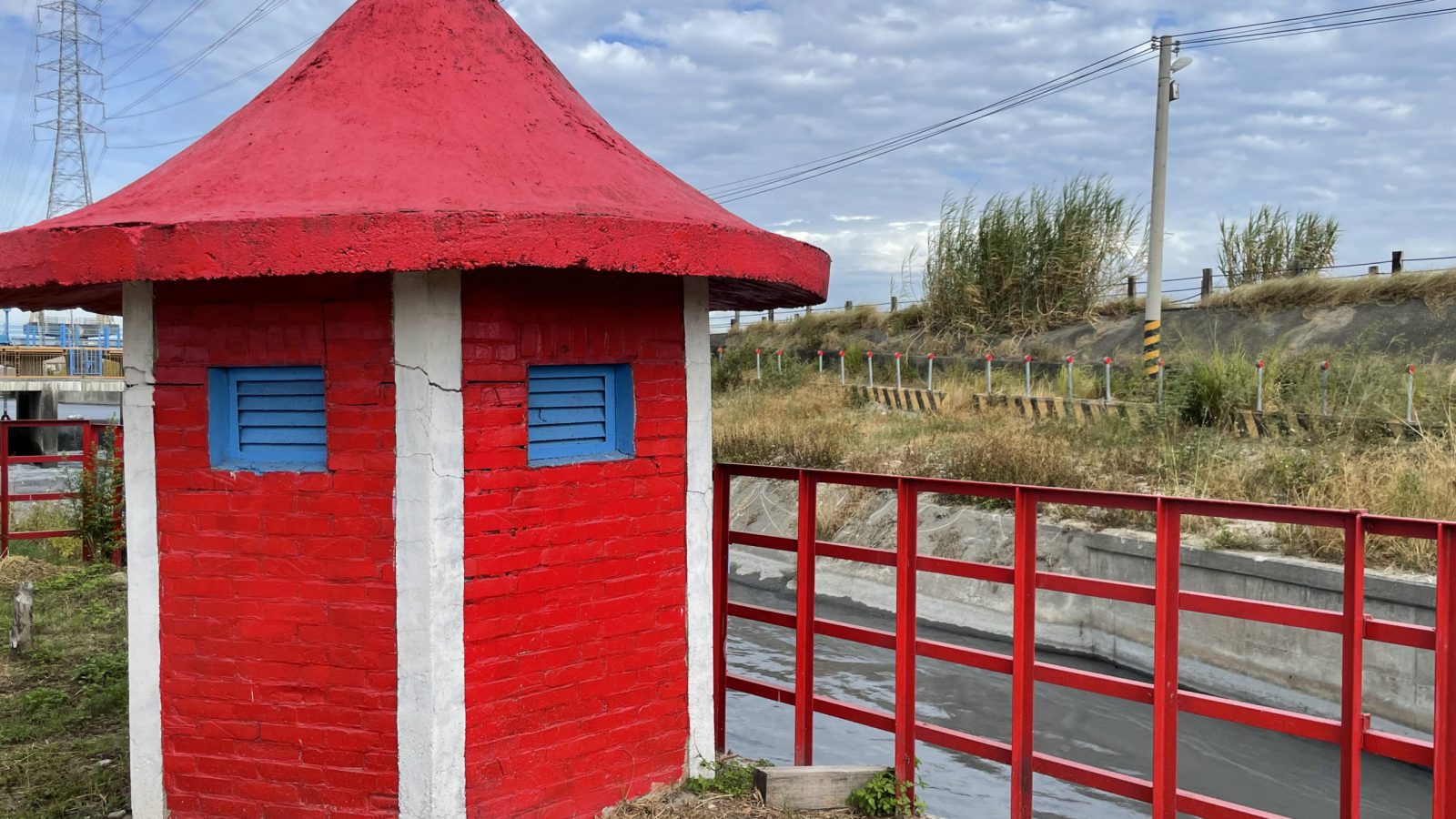
Such facilities are extensively established across the main irrigation canal systems in Taiwan and constitute one of the key infrastructures for promoting smart irrigation water management and improving irrigation efficiency.